


 Unique Visitors
The Highlands, which run from the NY/CT border southwestward into NJ and then PA, represent some of the oldest rocks in NY State. They are essentially the same as the rocks up in the Adirondacks and, actually represent the deep basement rocks under all of NY (outside of the Highlands and the Adirondacks, they're covered by thousands of feet of younger sedimentary rocks). They're exposed in the Highlands and Adirondacks because they've been uplifted through the younger cover rocks.
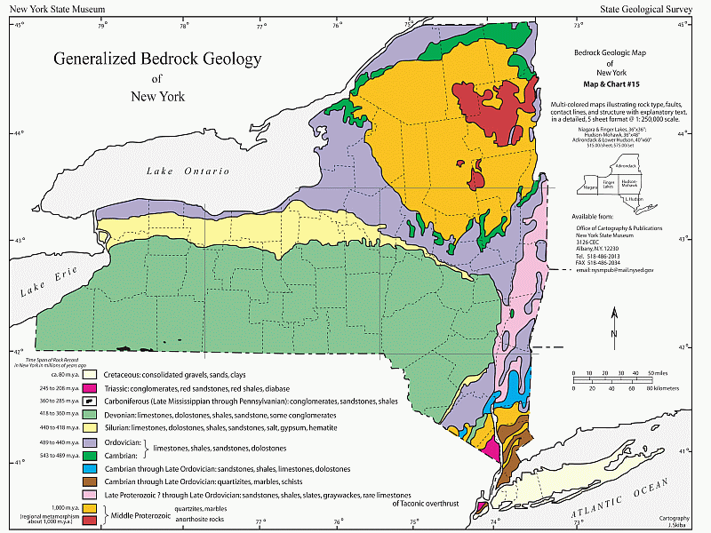
The rocks that underlie all of NY represent a mountain building event (orogeny) which took place between 1.3 and 1.1 billion years ago - the Grenville Orogeny. It was caused by a collision between proto-North America (called Laurentia) by geologists and another small block of continental crust - possibly Amazonia (which is now part of South America). Just like India colliding with Asia in recent geologic time, forming the Himalaya, this ancient collision formed Himalayan-scale mountains along what's now the eastern seaboard.

The rocks we looked at at Bear Mountain, and a few other places in the Highlands, were all different types of gneiss - a high-grade metamorphic rocks formed deep within the core of the ancient Grenville Mountains (some 12 miles below the surface). We also saw a couple of granitic intrusions.
After discussing the Grenville Orogeny we climbed the tower and took in the view - it was clear enough to see the buildings of Manhattan and I could pick out the Empire State building and the new Freedom Tower downtown. We also looked at some glacial chattermarks covering many of the exposed granitic gneiss outcrops.

Then we drove to an overlook of the Hudson and talked briefly about the role of the geology in controlling the course and characteristics of the Hudson as if flows through this area (it's much narrower here than it is further north or south because of the harder and more resistent rocks). The Highlands are also rich in history - especially from the Revolutionary War when the area was strategically important to both the British and the colonists.
After a brown bag lunch on an outcrop, we drove down down Seven Lakes Drive to a parking area by Lakes Askoti and Skannatati. From there we hiked the Long Path out to the Hogencamp and Pine Swamp iron mines (it was about a 4 mile round-trip hike). Veins of magnetite (Fe3O4) iron ore were mined in the Highlands from the 1700s and the entire area is dotted with small mines (mostly flooded now) and remains of furnaces, forges, and abandoned towns.

These magnetite deposits formed around 900 million years ago from hot iron-rich fluids circulating through faults and fractures deep within the Grenville Mountains. Overgrown hills of tailings still contain lots of nice pieces of magnetite (no collecting allowed from State Parks, however).
Unfortunately, the one downside to the day were the ticks that kept appearing on people (I took one off my leg before showering at home that night). I really hate ticks.
Tomorrow, down to the City.
No comments:
Post a Comment